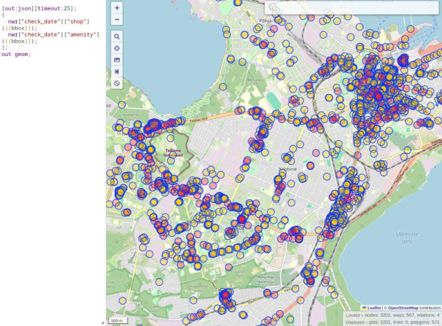
OpenStreetMap is a collaborative map, and Every Door is often used at mapping parties, where people go outside and map everything they see.
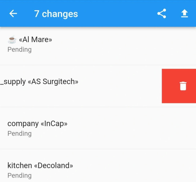
I have thought of how to improve this simultaneous mapping experience. Next year you will be able to share task areas from a geojson. We could also have a server for live edits and show amenities touched by somebody else (and not uploaded yet). And why even show features for confirmation outside your mapping zone?


"Simple 3D Buildings" is the base OSM tagging schema, which everybody interested in looking at 3D landscapes learns about. It is indeed simple — and the most popular part of it are building heights and roof shapes.
https://wiki.openstreetmap.org/wiki/Simple_3D_Buildings
Every Door has a special panel for editing those attributes. Just in five taps you can make a rendered building look like a real one. Sometimes I add missing data (gray labels on the picture) on my walk from a bus stop or a remote shop.
#30DayMapChallenge
"Simple 3D Buildings" is the base OSM tagging schema, which everybody interested in looking at 3D landscapes learns about. It is indeed simple — and the most popular part of it are building heights and roof shapes.
https://wiki.openstreetmap.org/wiki/Simple_3D_Buildings
Every Door has a special panel for editing those attributes. Just in five taps you can make a rendered building look like a real one. Sometimes I add missing data (gray labels on the picture) on my walk from a bus stop or a remote shop.